Another Walk
Another easy walk for people who may not be familiar with our village.
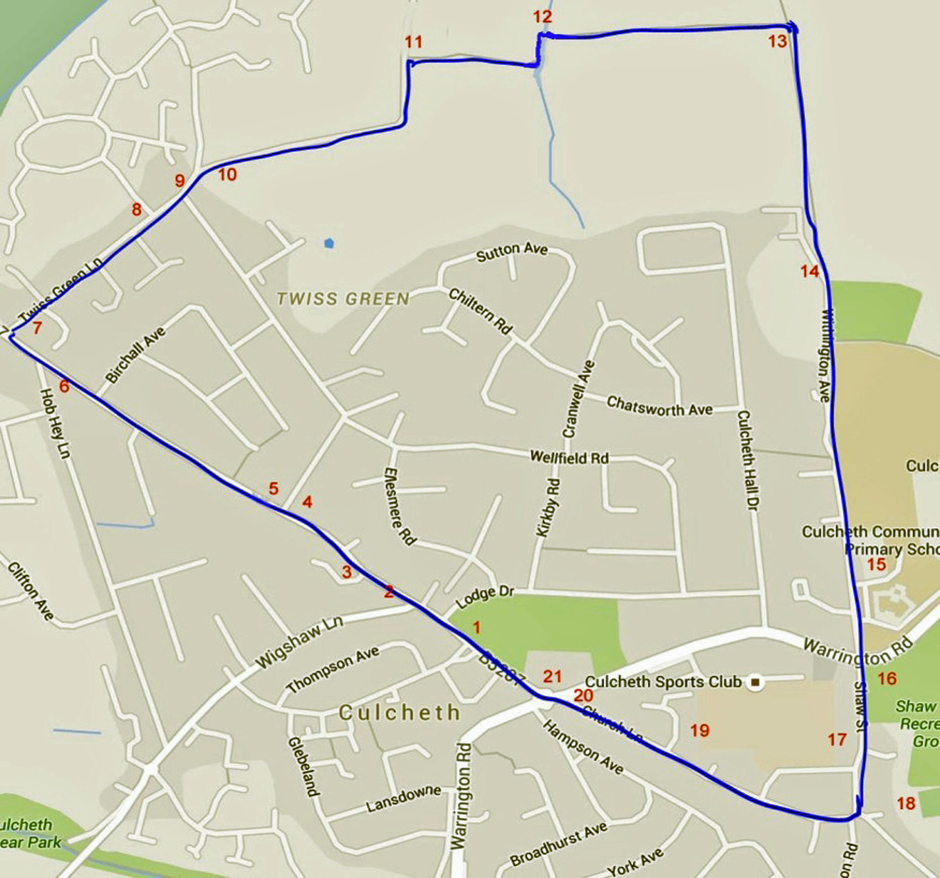
Starting at the village green (1) in the centre, walk up Common Lane to the right of Waterfields. You will pass a short terrace of houses (2) which were once homes for the workers of Daisy Bank Mill that used to be situated in what is now Daisy Bank Mill Close (3). More recently there was a plastics factory on this site, which closed about 1990 to make way for the new housing development. As you continue up Common Lane you will pass a white bungalow (4) at an angle to the road. This used to be the lodge at the entrance to a path to Culcheth Hall. Culcheth Hall used to be the residence of the 'lord of the manor' Captain Thomas Ellames Withington but it no longer exists. A little further along you will pass a small area of open green (5) which used to be used for maypole dancing. Continuing up Common Lane, at the junction with Hob Hey Lane, you will notice the old Independent Methodist church (6) which is now a private house.
Just beyond this junction you turn right into Twiss Green Lane. The block of flats (7) that you pass on your right used to be a large house that was used by Newchurch Hospital. Further down Twiss Green Lane you will pass Eddison Drive (8) where you will see buildings that used to be the main part of Newchurch Hospital. The buildings were originally created in 1903 as a model village and cottage homes for poor orphans of Salford and that facility closed in 1936. Newchurch Hospital took over the buildings after the 2nd world war for people with learning difficulties and that in turn was closed in the 1970s.
As Twiss Green Lane bends sharply to the right take the small road to the left (9) and after a few metres turn right through an open gate and walk down the road between the farm buildings (10).
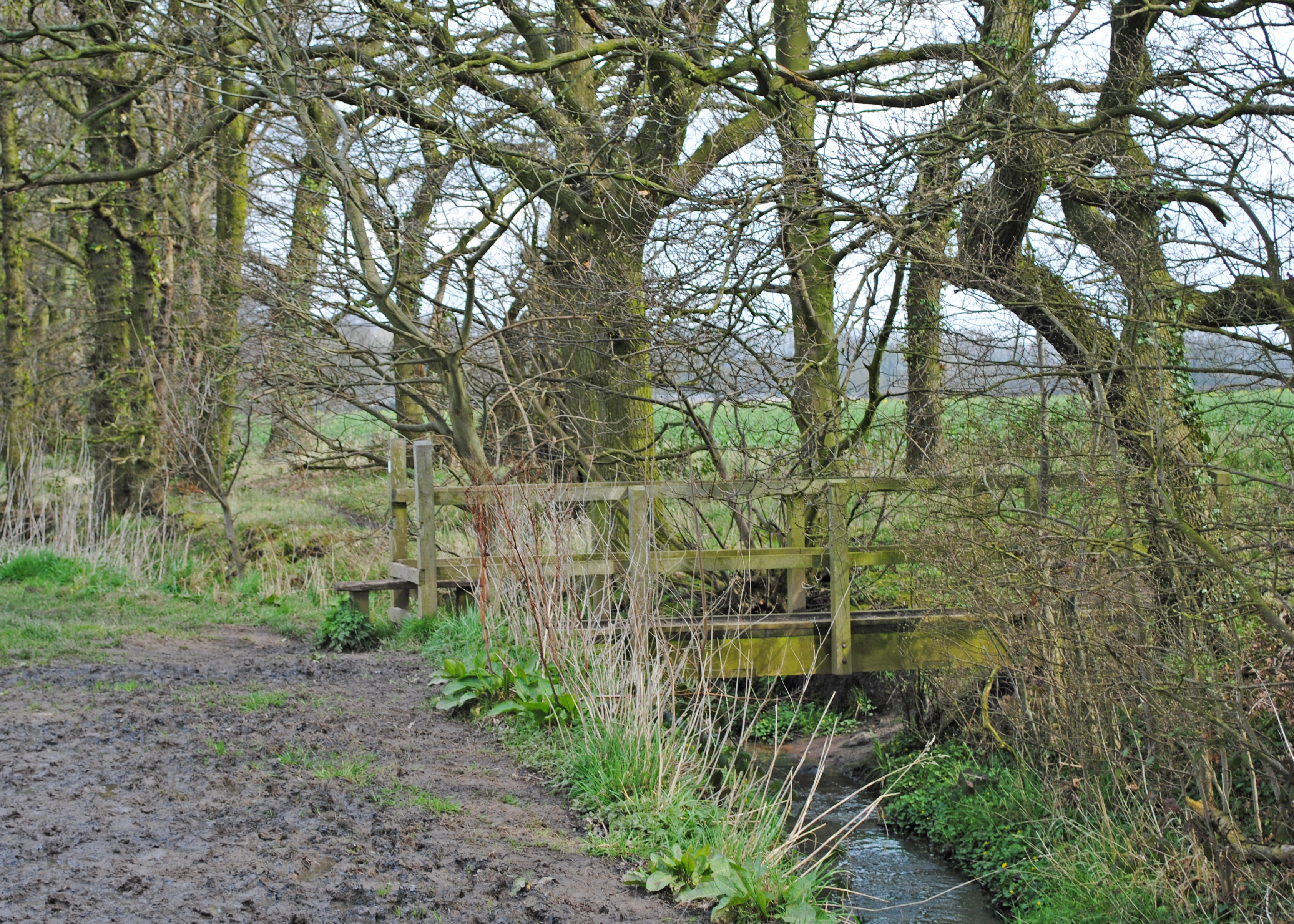
As you approach the hedgerow you turn left and then right across a small stile and foot bridge (12).
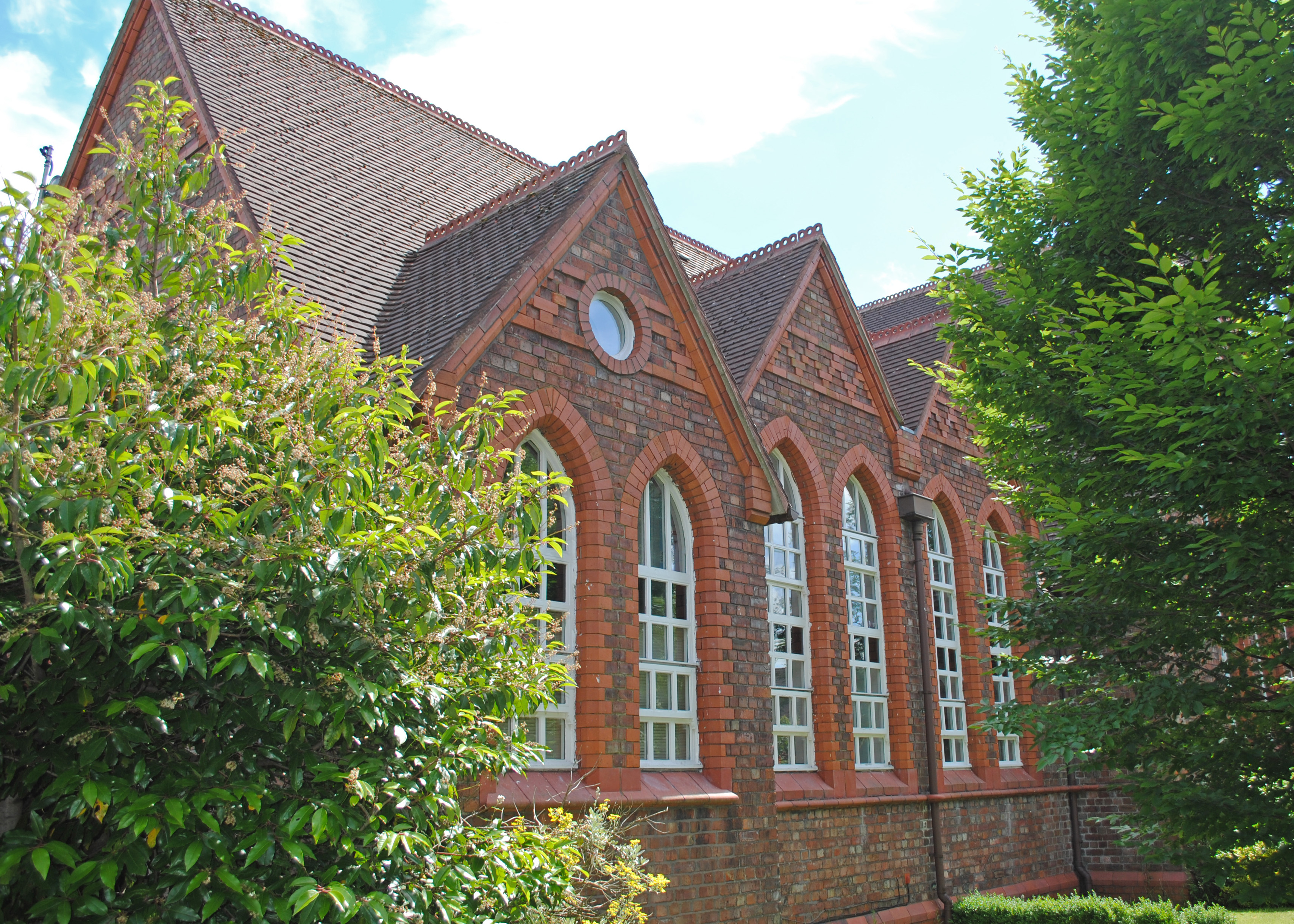
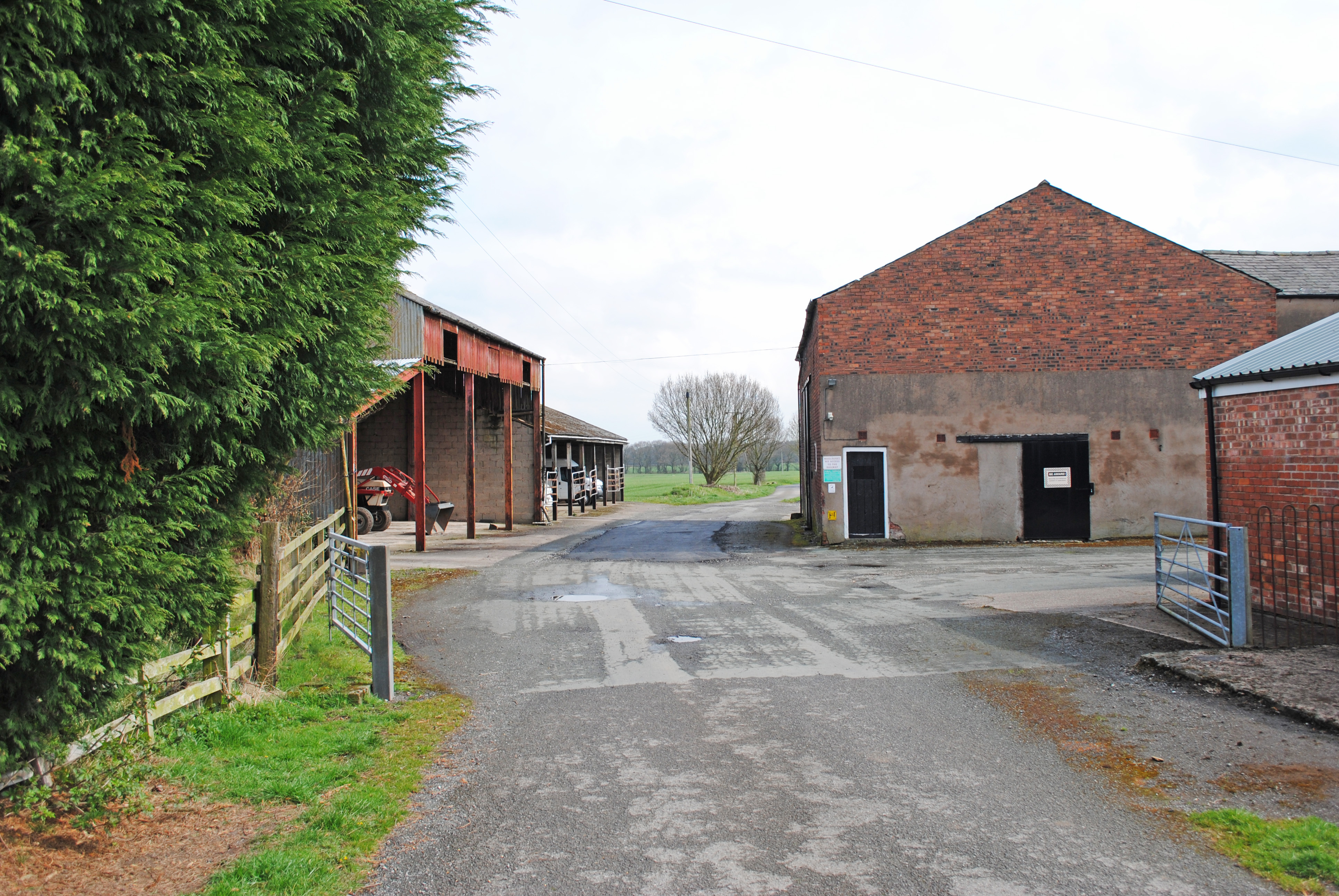
Follow the path across the middle of a large field until you come to a sort of crossroads (13) with a wider farm track. Turn right and walk down the track towards houses that you see in the distance. The farm track leads to a tarmac road adjacent to Culcheth Hall farm (14), which used to be part of the large estate of Culcheth Hall. Follow the road past some modern houses and on your left you will notice the new Culcheth High School. Continue straight ahead down Withington Avenue (named after the old squire Captain Thomas Ellames Withington of Culcheth Hall). As you approach the junction with the main road you will pass the Business Enterprise Centre (15), which used to be the location of the old high school.
Go straight across the main Warrington Road into Shaw Street. On your left you will see playing fields (16) used by Culcheth Eagles Rugby Club and further down on the opposite side you may notice Culcheth Sports Club playing fields (17). This was originally called the Daten (Division of Atomic Energy) Club, created after the war for the employees of the new headquarters of the UK's atomic energy programme in Risley. Culcheth became home for many engineers and scientists involved in the new nuclear industry.
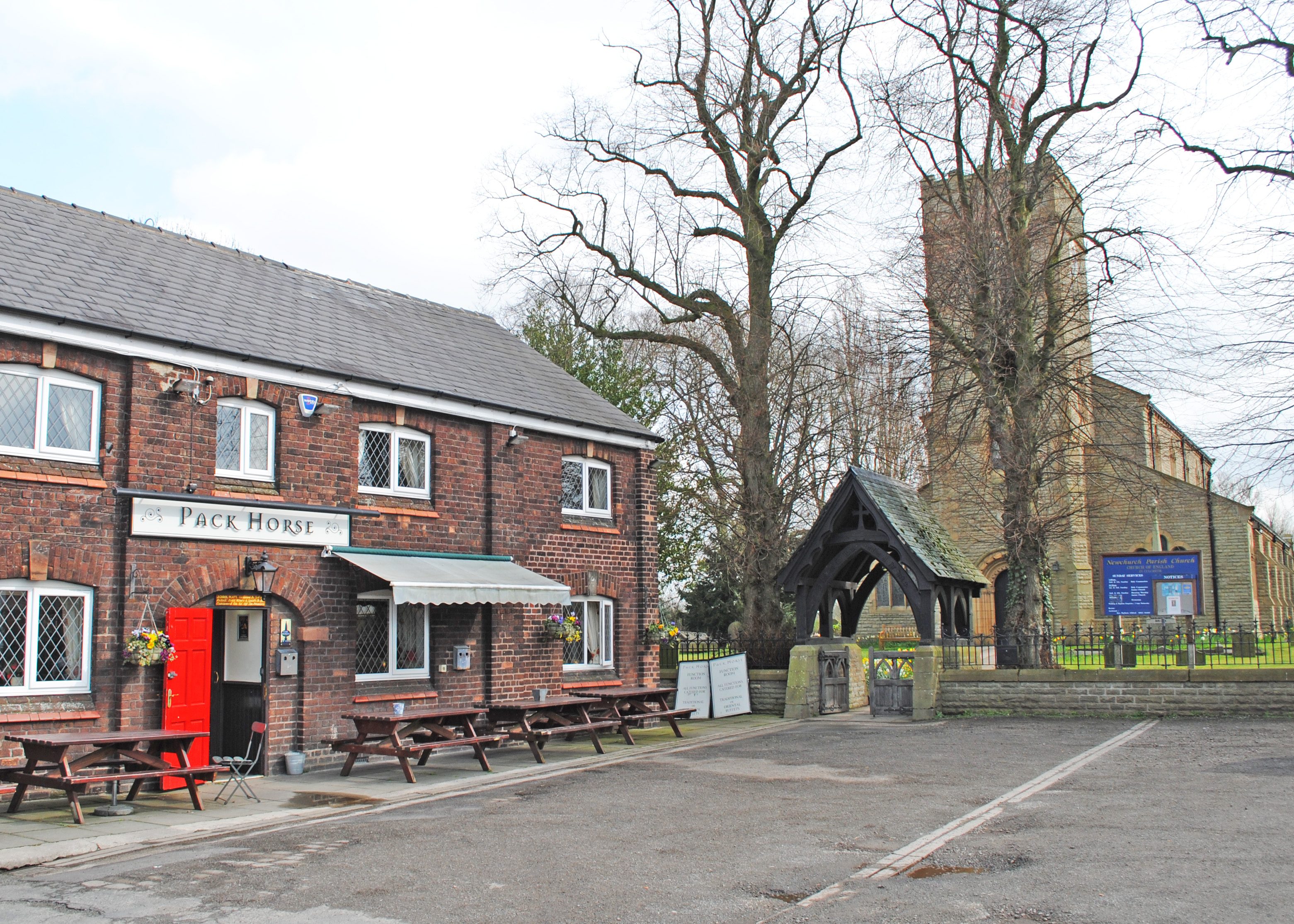
At the junction at the end of Shaw St you will find the Pack Horse pub and next to it Newchurch Parish Church (18). You will find a foundation stone on the front of the church recording that it was built in 1903 to replace the previous church that burned down. Thanks to a substantial contribution from squire Withington and other gentry the church was rebuilt within a year. Records show that a church had stood here since the 1500s. You will also find a war memorial in front of the church.
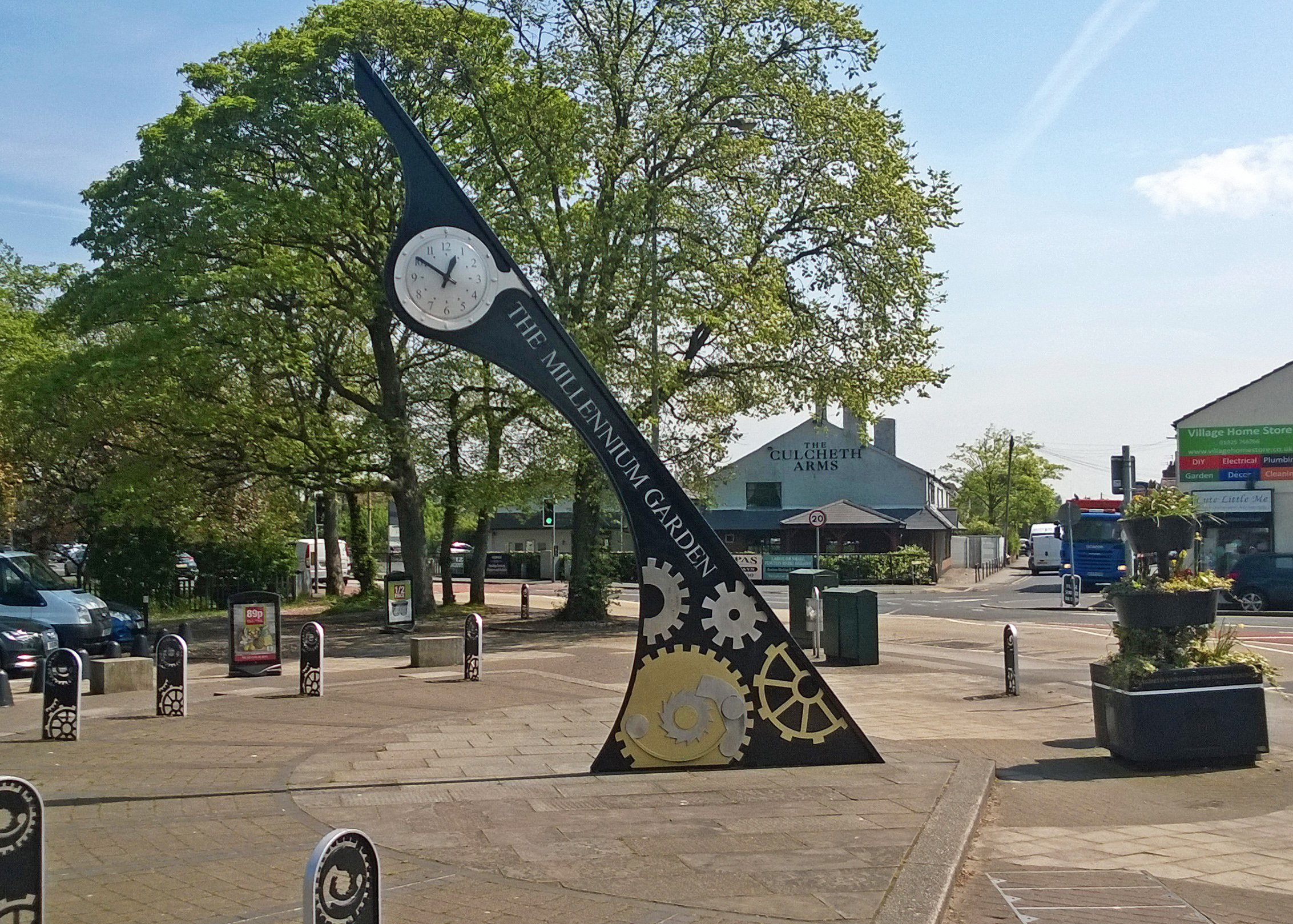
From the church walk straight ahead down Church Lane. This is one of the oldest roads in Culcheth and you will pass a few old cottages as well as newer houses. On the right you will pass by a block of flats in Newsholme Close (19). During the 2nd world war this was part of a Naval Base, HMS Ariel, to train Fleet Air Arm officers and ratings in radio maintenance. On the land behind these flats there were hangars and aircraft to provide training under 'airfield' conditions even though there were no landing areas or runways. Continue to the junction, next to the old pub, earlier called the Harrow and now called the Culcheth Arms (20).
Cross the main road to the Millennium Clock (21) in the style of a sundial, which was installed in 2001.
Continue straight on towards Sainsbury's, back to the village green.